PERMAFROST MONITORING SYSTEMS
Subsurface monitoring for infrastructure built on permafrost.
Boreal Applied is developing a multisensor robotic system designed to repeat georeferenced surveys and identify thaw-related changes beneath northern runways, roads, and other paved assets supporting earlier investigation, maintenance planning, and climate adaptation.
- Working proof of concept
- Repeatable multisensor surveys
- Georeferenced change tracking
- Canadian engineering planned
The Northern Infrastructure Challenge
Permafrost conditions are changing beneath essential infrastructure.
Across northern Canada, runways, roads, and buildings rely on frozen ground for stability. As ice-rich permafrost warms and thaws, ground strength can decline and settlement can damage the assets above. Infrastructure teams need repeatable information about where subsurface conditions are changing and how those changes evolve over time.
The Monitoring Approach
Survey. Compare. Plan.
- Multisensor Data Collection
- Repeatable Survey Routes
- Georeferenced Change Detection
- Traceable Planning Records
- 01
Survey
Collect georeferenced GPR, thermal, RGB, LiDAR, inertial, and positioning data along repeatable survey routes.
then - 02
Compare
Return to the same asset and align surveys to identify changes in surface and subsurface conditions over time.
then - 03
Plan
Turn located changes into traceable records that support targeted investigation, maintenance prioritization, and capital planning.
Current Foundation
A working robotic proof of concept.
Boreal’s current proof of concept brings together autonomous route execution, integrated sensing, georeferenced data collection, repeat-survey alignment, change detection, and traceable reporting. These capabilities establish the technical foundation for the proposed permafrost-monitoring system.
Explore the System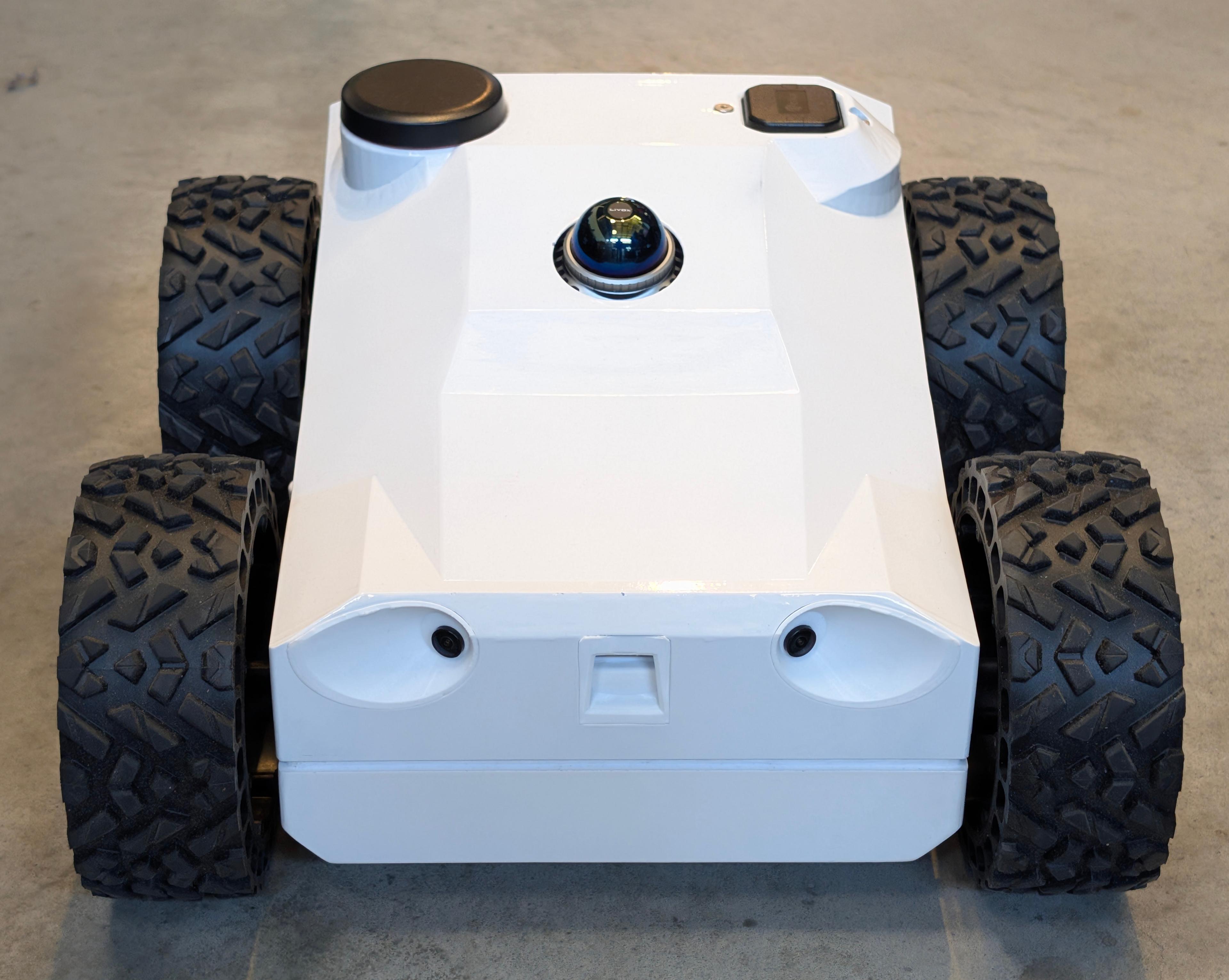
Robotic survey execution
Remote operation, mission planning, autonomous route following, obstacle detection and avoidance, repeat positioning, and consistent survey lanes.
Integrated sensing
GPR, thermal, RGB, LiDAR, inertial sensing, and GPS/RTK positioning within a georeferenced inspection workflow.
Repeat-survey comparison
Return to previously surveyed coordinates, align datasets, and identify located changes across inspections.
Traceable planning records
Survey maps, subsurface and surface outputs, geolocated findings, reporting, and recommended follow-up.
Initial Applications
Monitoring changing ground beneath northern infrastructure.
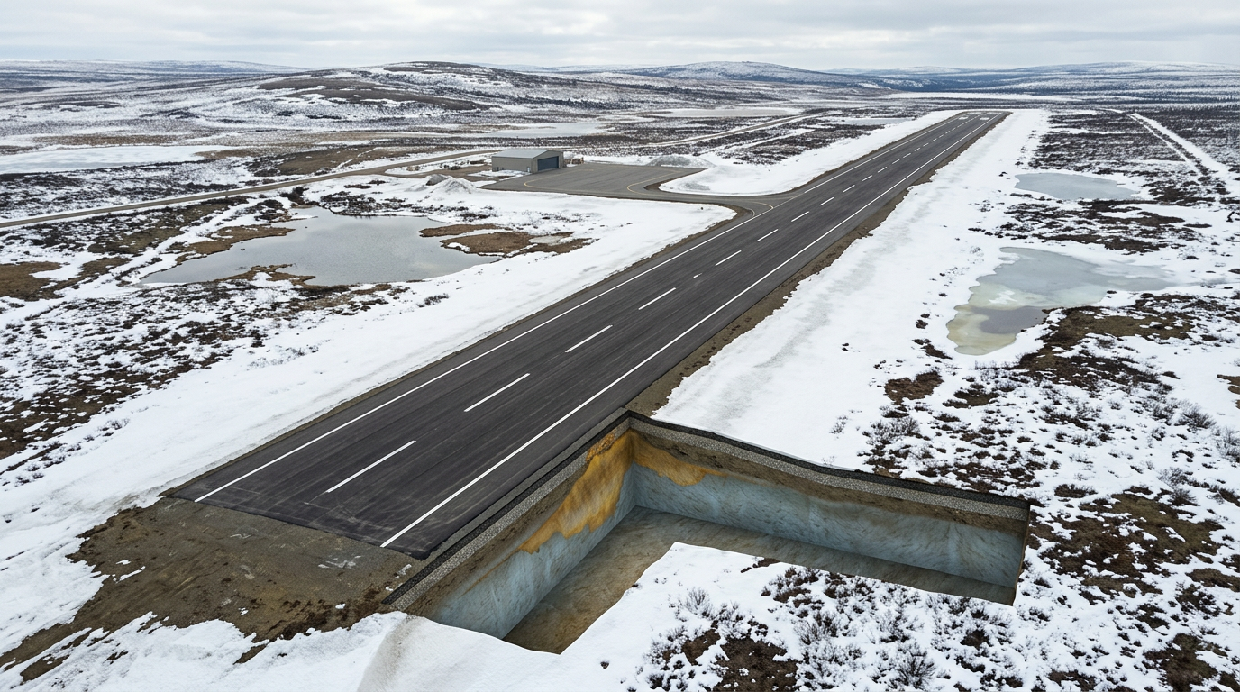
Northern Airfields
Runways, taxiways, aprons, and access roads provide large, repeatable survey areas where changing permafrost conditions can affect long-term stability and maintenance decisions. Boreal is developing its monitoring approach for airport operators, transportation authorities, and DND/CAF infrastructure teams responsible for these assets.
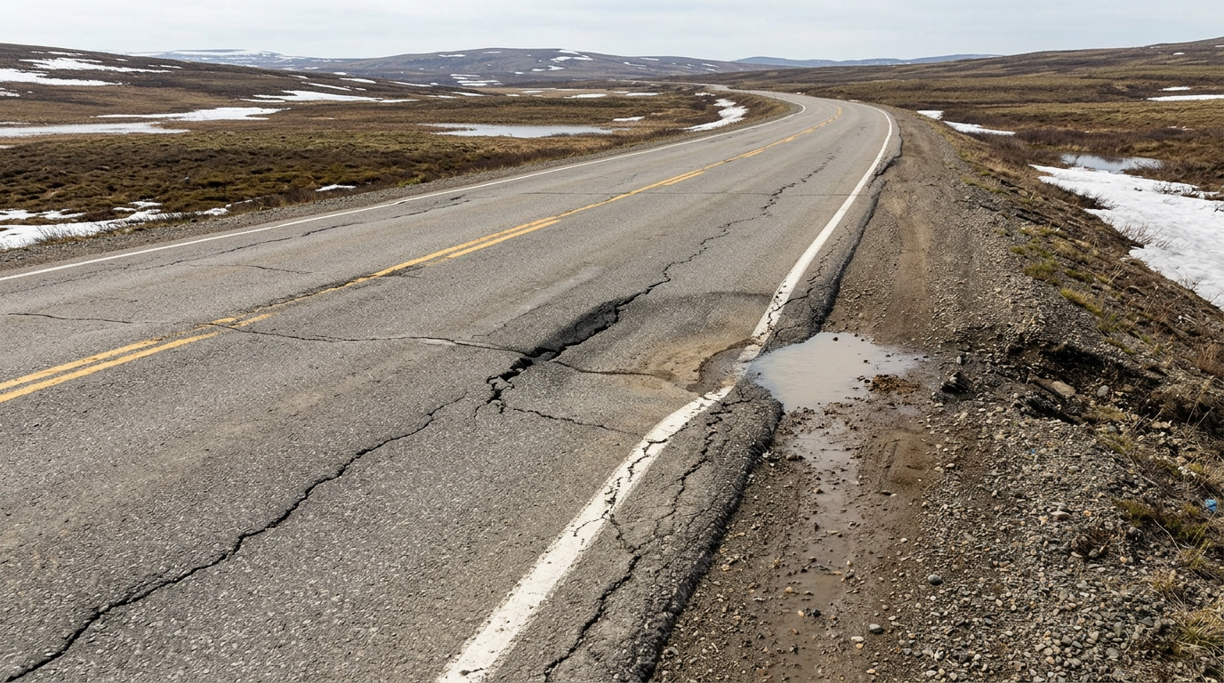
Northern Roads and Logistics Corridors
Repeat subsurface surveys for access roads, base roads, and paved logistics routes affected by changing ground conditions.
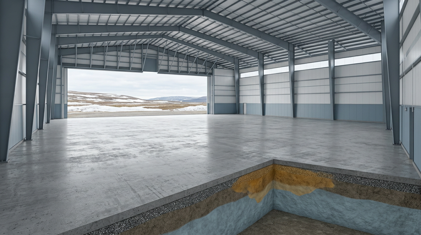
Hangars, Depots and Operational Facilities
Monitoring beneath accessible concrete floors, slabs, and supporting paved areas without claiming assessment of every building foundation.
Canadian Development
Establishing Canadian engineering and field operations.
Boreal Applied is established in Canada, with plans to conduct system engineering, sensor integration, autonomy and software development, testing, data processing, assembly, and reporting in Canada.
About Boreal Applied- System engineering and integration
- Northern field validation
- Data processing and decision support
Canadian Development FocusBoreal’s Canadian development plans focus on system integration, northern field validation, and decision-support workflows for infrastructure operators.
Discuss a northern infrastructure pilot.
Talk with Boreal about a permafrost-monitoring pilot, northern field-validation program, or R&D partnership for airfields, roads, and related infrastructure.