APPLICATIONS

Repeatable monitoring for northern paved infrastructure.

Boreal Applied is developing a robotic monitoring system for runways, roads, operational facilities, and other accessible paved assets exposed to changing ground conditions. By repeating georeferenced surveys, the system is intended to help infrastructure teams locate where surface or subsurface responses have changed and focus further investigation where it may be warranted.

  • Accessible paved assets
  • Repeatable survey access
  • Georeferenced comparison
  • Validation-led development

APPLICATION FIT

Where repeatable monitoring can add value.

The proposed system is best suited to defined paved or concrete areas that can be surveyed along repeatable routes and revisited over time. A useful application also requires reliable positioning, safe operational access, and an appropriate method for validating observed changes.

  1. 01

    Accessible survey surface

    A defined paved or concrete surface that can support safe and consistent platform movement.

  2. 02

    Repeatable access

    Permission and operating windows that allow the same area or corridor to be surveyed again.

  3. 03

    Reliable positioning

    Positioning and asset context sufficient to align information from separate inspections.

  4. 04

    Validation pathway

    An appropriate ground-truth, engineering, geotechnical, or operational method for evaluating observed differences.

APPLICATION PROFILES

Operating environments for repeat-survey monitoring.

Each application combines a defined survey surface, repeat access, georeferenced comparison, and an application-specific validation plan. Across these applications, the common objective is to repeat georeferenced surveys, locate where surface or subsurface responses changed between visits, and preserve supporting evidence for targeted investigation, monitoring, and infrastructure planning. Northern airfields are the flagship development case; the remaining profiles extend the same approach to other accessible paved and concrete assets.

01

Northern Airfields

Runways, taxiways, aprons, and paved access roads create large, repeatable survey areas. In northern regions, changing permafrost and ground conditions can influence long-term pavement performance. Boreal is developing its monitoring system to help infrastructure teams establish consistent condition records and locate changes between surveys that may warrant targeted investigation.

Applicable assets

  • Runways
  • Taxiways
  • Aprons
  • Paved airport access roads
  • Associated paved logistics and staging areas

Potential operators

  • Northern airport operators
  • Transportation authorities
  • Territorial governments and northern infrastructure operators
  • DND/CAF infrastructure and asset-management teams
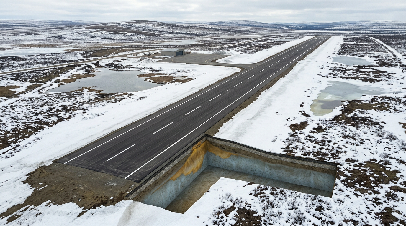
Conceptual remote northern runway with a visible ground cross-section; no Boreal deployment or validated finding is shown.
Conceptual northern-airfield application environment.

02

Northern Roads and Logistics Corridors

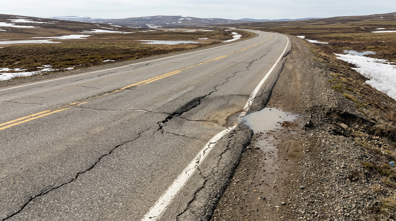
Northern access roads, base roads, service routes, and paved logistics corridors extend across large areas where changing ground conditions can create localized maintenance concerns. Repeating the same survey corridor could establish a persistent condition history and help identify where changes are concentrated.

Applicable assets

  • Northern access roads
  • Base roads
  • Paved service roads
  • Logistics corridors
  • Paved connecting and staging routes

Potential operators

  • Northern transportation authorities
  • DND/CAF base and logistics infrastructure teams
  • Territorial and remote-community infrastructure organizations
  • Industrial and northern asset operators
Conceptual paved northern road with localized surface distress; the cause is not identified and no Boreal deployment is shown.
Conceptual northern-road application environment.

03

Hangars, Depots and Operational Facilities

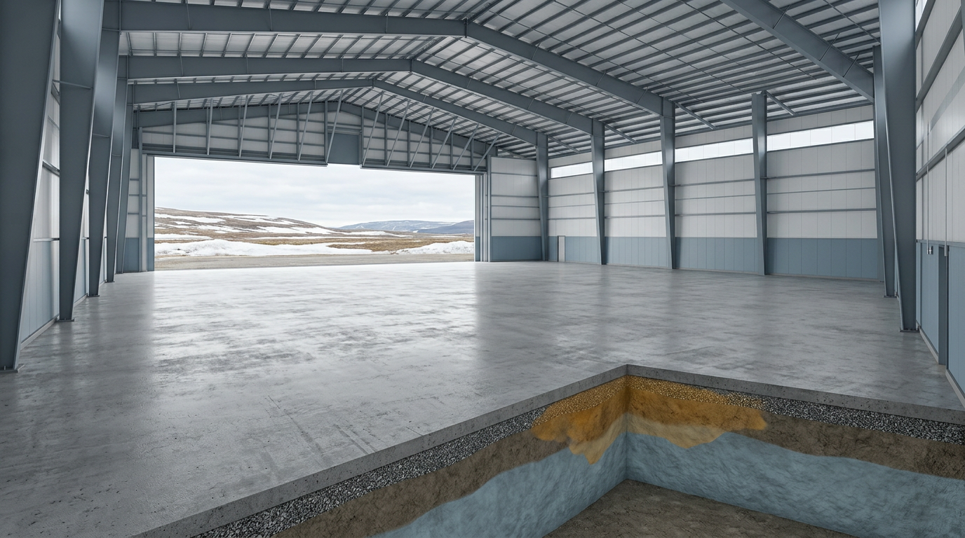
Accessible concrete floors, slabs, paved service areas, and staging surfaces can provide controlled environments for repeatable robotic surveys. Boreal’s proposed approach could connect subsurface and surface responses with precise locations and preserve changes within a persistent inspection history.

Applicable assets

  • Accessible hangar floors
  • Depot and maintenance floors
  • Concrete slabs
  • Paved service and staging areas
  • Accessible adjoining logistics surfaces

Potential operators

  • DND/CAF facility and infrastructure teams
  • Airport maintenance organizations
  • Depot and logistics-facility operators
  • Industrial facility managers
Conceptual accessible hangar or depot floor and operating environment; no Boreal deployment or complete foundation assessment is shown.
Conceptual operational-facility application environment.

04

Wharves and Shipyard Operating Surfaces

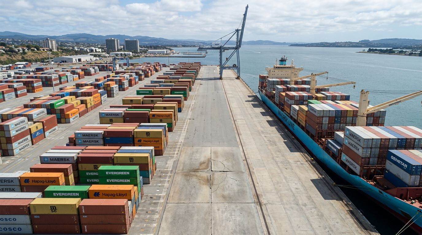
Accessible wharf, shipyard, staging, and paved logistics surfaces may provide a future extension for Boreal’s platform-agnostic monitoring approach. Repeat surveys could preserve a georeferenced history of changing surface and subsurface responses across defined operating areas.

Applicable assets

  • Accessible wharf operating surfaces
  • Shipyard paved areas
  • Concrete yards
  • Paved staging zones
  • Associated logistics surfaces

Potential operators

  • Port and wharf infrastructure teams
  • Shipyard facility operators
  • Naval-base infrastructure organizations
  • Logistics and industrial facility teams
Conceptual accessible wharf or shipyard floor and operating environment; no Boreal deployment or complete foundation assessment is shown.
Conceptual wharf and shipyard application environment.

PILOT AND VALIDATION

What an initial pilot would evaluate.

An initial program would evaluate the system against a defined asset and validation objective. Rather than assuming permafrost-specific performance in advance, the program would test survey repeatability, evidence quality, change comparison, operating requirements, and the relationship between observed responses and appropriate ground-truth information.

  1. 01

    Define the asset and objectives

    Establish the survey boundary, operating windows, available asset information, validation method, and criteria for reviewing the results.

  2. 02

    Collect baseline and repeat surveys

    Perform georeferenced surveys of the same area under documented operating and environmental conditions.

  3. 03

    Compare and validate

    Align the survey datasets, locate observed differences, and evaluate them against appropriate engineering, geotechnical, physical, or operational measurements.

  4. 04

    Document findings and next steps

    Record the supporting evidence, limitations, operating requirements, recommended follow-up, and priorities for further development.

WORK WITH BOREAL

Discuss an application, pilot, or validation program.

If your organization manages accessible paved or concrete infrastructure affected by changing ground conditions, talk with Boreal about asset suitability, survey requirements, validation objectives, system integration, or an R&D collaboration.